|
The table of units of measurement shown below will be used by aeronautical stations within Jeddah FIR for air and ground operations.
|
||||||||||||
|
Coordinated Universal Time (UTC) and the Gregorian calendar are used by Saudi air navigation services and in publications issued by the Aeronautical Information Services in Saudi Arabia. Reporting of time is expressed to the nearest minute, e.g. 12:40:35 is reported as 1241.
|
||||||||||||
|
All published geographical coordinates indicating latitude and longitude are expressed in terms of the World Geodetic System - 1984 (WGS-84) geodetic reference datum.
|
||||||||||||
|
Projection is expressed in terms of Universal Transverse Mercator (UTM).
|
||||||||||||
|
An ellipsoid is expressed in terms of the World Geodetic System - 1984 (WGS-84) ellipsoid.
|
||||||||||||
|
The World Geodetic System - 1984 (WGS - 84) is used.
|
||||||||||||
|
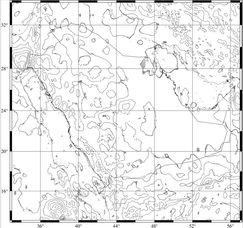
The area of application for the published geographical coordinates coincides with the area of responsibility of the AIS, i.e. the entire territory of Saudi Arabia as well as the airspace over the high seas encompassed by the Jeddah FIR in accordance with the regional air navigation agreement.
|
||||||||||||
|
An asterisk (*) will be used to identify those published geographical coordinates that have been transformed into WGS-84 coordinates but whose accuracy of original field work does not meet the accuracy requirements in GACA Regulations.
|
||||||||||||
|
The vertical reference system corresponds to mean sea level (MSL).
|
||||||||||||
|
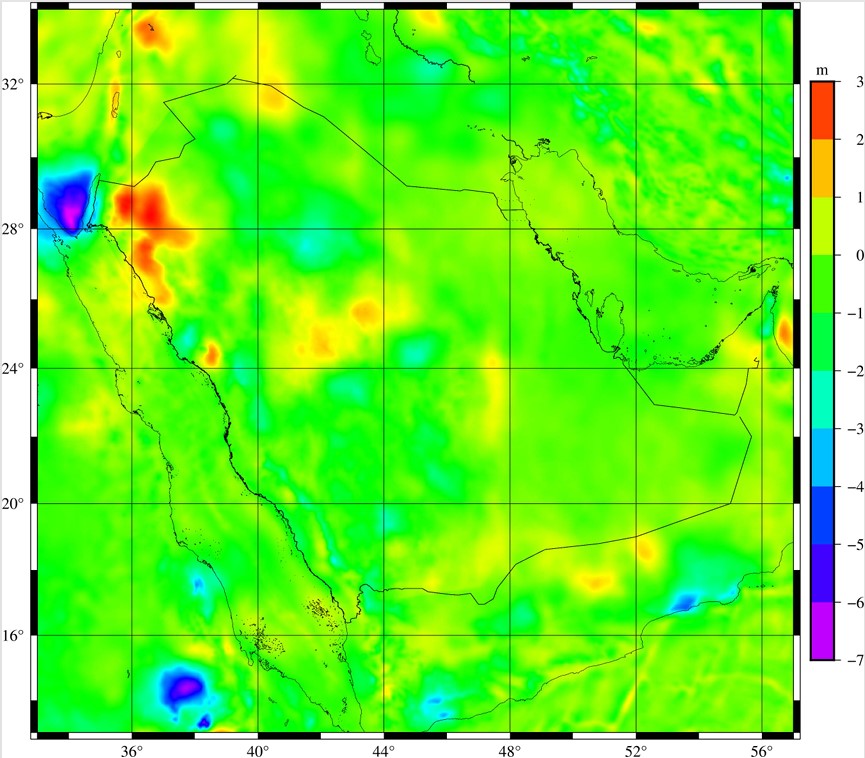
The geoid model used is the Earth Gravitational Model 1996 - (EGM - 96).
|
||||||||||||
|
The nationality mark for aircraft registered in Saudi Arabia is the two-letter group HZ. The nationality mark is followed by a hyphen and a registration mark consisting of a combination of up to three letters or numbers, e.g. HZ - ABC.
|
||||||||||||
Note 2: Some administrative services may not be available and banks and other institutions may not be open during public holidays. |
||||||||||||
|
SANSRS is a consistent reference stem that defines Cartesian coordinates, longitude, latitude, height, scale, gravity and orientation throughout the Kingdom of Saudi Arabia.
|
||||||||||||
|
|
||||||||||||
|
MSL values can be transformed to and from EGM96 using the following transformation grid:
|
||||||||||||